
Data from Digital Explanatory Notes and attributed spatial mapping, while available separately, together form the SA Geology 1st edition, a flagship modern product that captures, stores and delivers digital geoscience with maximum efficiency to support the full range of applications and end-users.
The Digital Explanatory Notes system represents a set of concise data summaries from various sources that provide state-wide descriptions of South Australian geology. The system serves as a ‘live’ digital repository, offering a portal for up-to-date, validated and reliable geological information.
The system will progressively form a contemporary upgrade from the published hard copy 1:250,000 map sheet explanatory note series.
Data that is currently available on the web service represents information that has been compiled to date for specific areas. The dataset will be progressively expanded as additional geological information is validated and integrated.
Delivery of information is via a digital web application as an extension of the SARIG catalogue system. Here, the information is separated into four interconnected report categories:
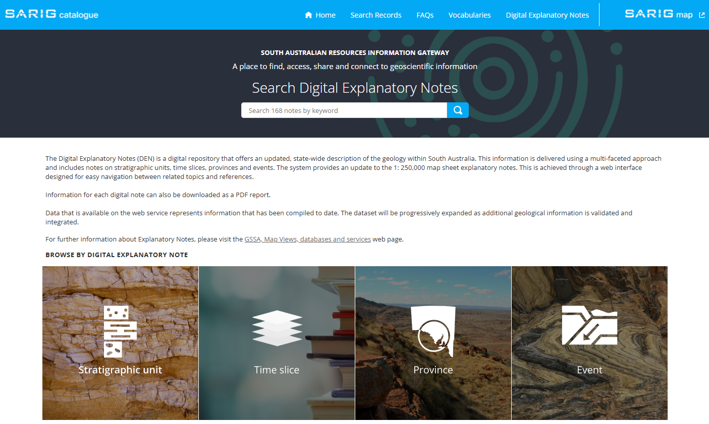
- Geological provinces
- Stratigraphic units
- Events
- Time slices
The categories are designed to link with the spatial mapping data on different scales and provide a more holistic and seamless understanding of South Australia's geology. Within the application, there is search functionality and links to access related information across the categories. Reports are available as PDF downloads for each individual note.
Launch Digital Explanatory Notes 
View Digital Explanatory Notes ESRI Story map
Frequently asked questions
The application currently contains a limited dataset. This initial release predominantly relates to the geology of the western Gawler Craton. The dataset will be progressively expanded as geological information is validated and integrated. Additional information can still be accessed via open file resources in SARIG catalogue. Historic 1:250,000 map sheet explanatory notes are easily accessible from the new application or via the catalogue by clicking home on the upper ribbon.
The information represents a compilation and unbiased synthesis of available resources on South Australia’s geology. Care has been taken to provide information that is up to date and accurate. It is recommended to use the resource as a preliminary guide and to do further research if required. References are provided as a starting point.
The digital explanatory notes do not represent a publication but instead represent compiled descriptions of basic geology which are updatable. It is recommended for users to do further research into specific topics.
Content from the Digital Explanatory Notes is licensed under a Creative Commons Licence Attribution 4.0 International and you are required to attribute the work in the manner specified in the licence. For more information on material use and attribution visit the DEM copyright web page.
We have provided a full list of South Australian stratigraphy as recognised in our database system, however, only a limited number of notes have been compiled to complement the SA Geology 1st edition spatial data, centred on the western Gawler Craton. In time, more notes for stratigraphy and provinces will become available.
The web application version of a Stratigraphic Unit or Province Note may have a more concise geological summary or lithology section, often presented without references for easier reading. The PDF downloads will often have extended versions of these sections that include in-text citation. This allows the compiler to include more information and provide a reference to the source data. This applies for the summary geology in province reports and lithology in stratigraphy reports.
Yes, content can be reviewed on the webpage before downloading. Other than the above-mentioned PDF note sections, what is seen on the web application is the same as the report download. Once you press download, a PDF will be downloaded to your device.
The new Digital Explanatory notes application is designed to be dynamic and readily updatable. Downloads will differ over time as understanding improves and new data becomes available. It is recommended to revisit the information.
Yes. Where available, the new SA Geology 1st edition spatial layers offer a direct URL link to a Digital Explanatory Notes detail form.
More information
To stay informed of the latest developments in SARIG and departmental activities, subscribe for updates.
To give feedback on any of SARIG's functions, submit a SARIG user feedback form.
For general enquiries email DEM.SARIG@sa.gov.au